Exploring Subsurface Structure Through an Artesian Well in Izumikawa
hiro
Rusutsu NatureLink
Groundwater at Rusutsu Resort does not flow in the same way across every area.
Because the topography and geology vary, the East, Izumikawa, and West areas may each have distinct groundwater characteristics.
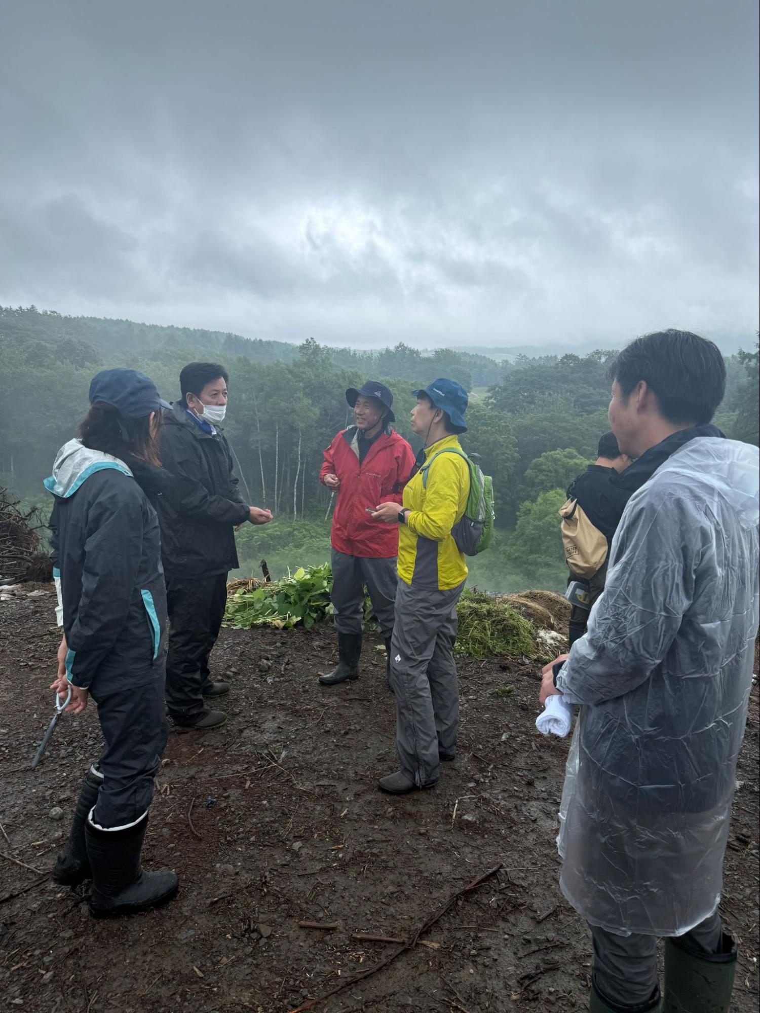
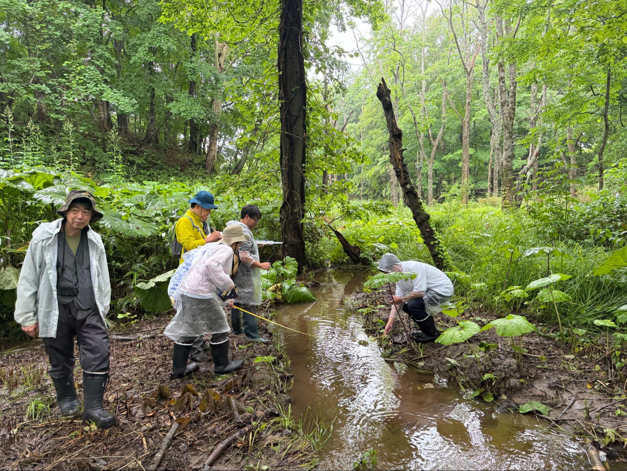
During this field survey, we inspected the observation wells installed in each area, measured groundwater levels, and used RTK surveying to determine wellhead elevations.
In the East area’s “Udo Valley,” we confirmed three simple observation wells.
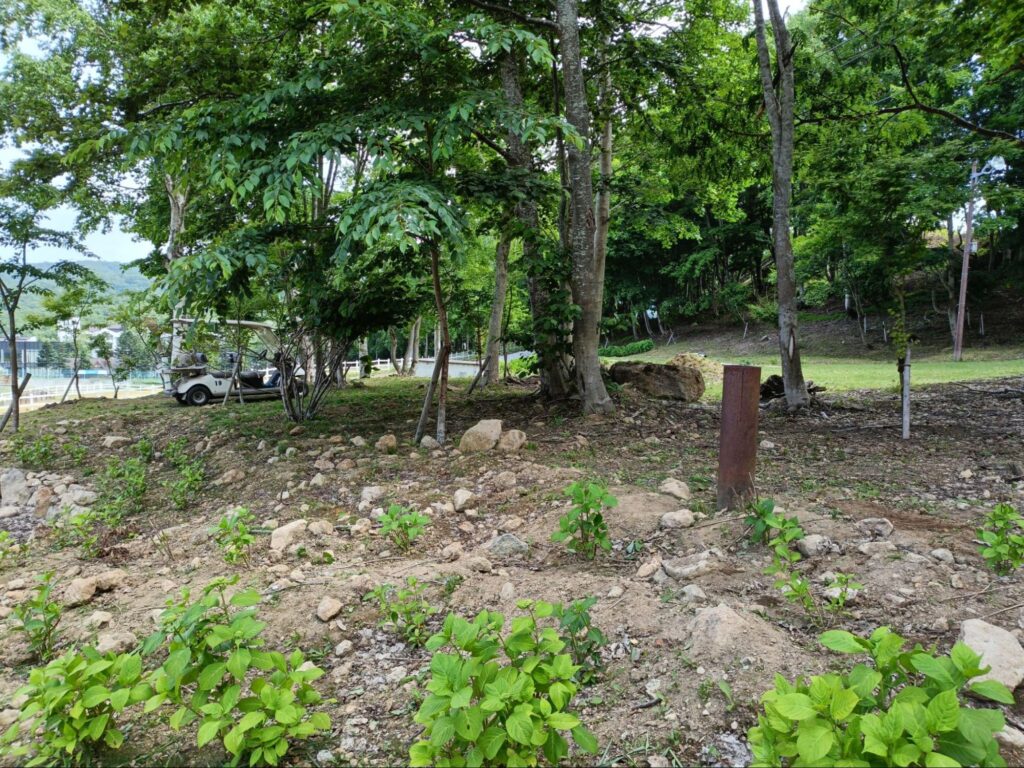
At the two upstream wells, groundwater levels had fallen at the time of the survey, and no water was observed inside the wells. Because groundwater levels vary with the seasons and rainfall, continuous monitoring is essential.
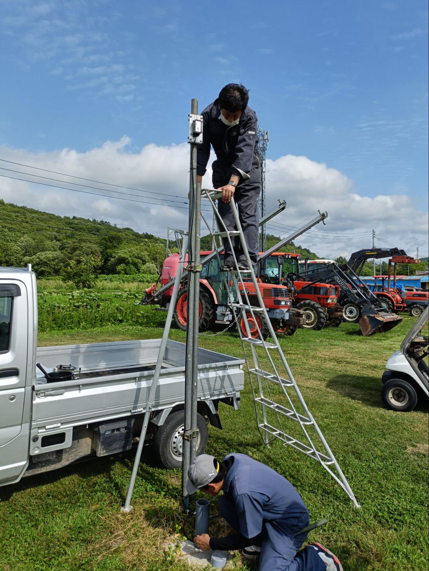
In the Izumikawa area, we confirmed two newly installed simple observation wells in addition to the existing observation well.
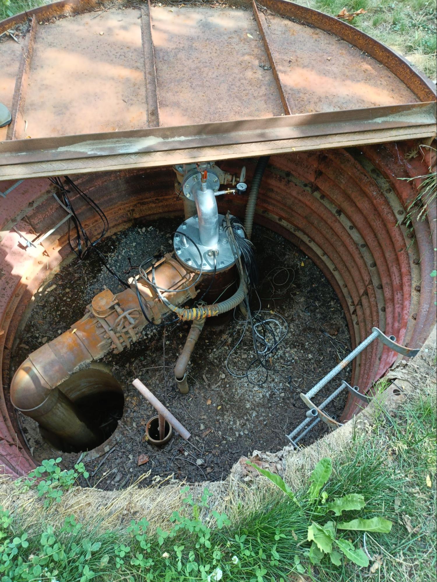
At Izumikawa Well No. 3, located at the highest elevation, we observed artesian flow—groundwater naturally flowing out at the surface.
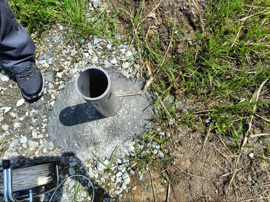
By accurately measuring wellhead elevations and groundwater levels at multiple wells, we can estimate the direction of groundwater flow.
In the West area, in addition to the existing Well No. 7, we inspected a well near the campground and an old well discovered during park development.
Going forward, we will compare groundwater-level elevations at each well to better understand groundwater flow in the West area.
A single well’s water level is not enough to understand groundwater in Rusutsu.
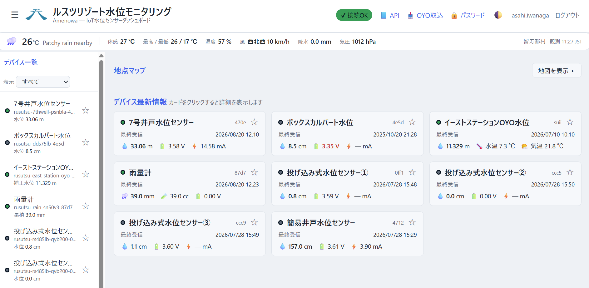
By recording well water levels, topography, and rainfall at multiple locations over the same time period, we can understand groundwater movement not as isolated points, but across the wider landscape.
The survey data obtained in this study will provide a foundation for mapping groundwater-flow directions and considering the sustainable use of groundwater.