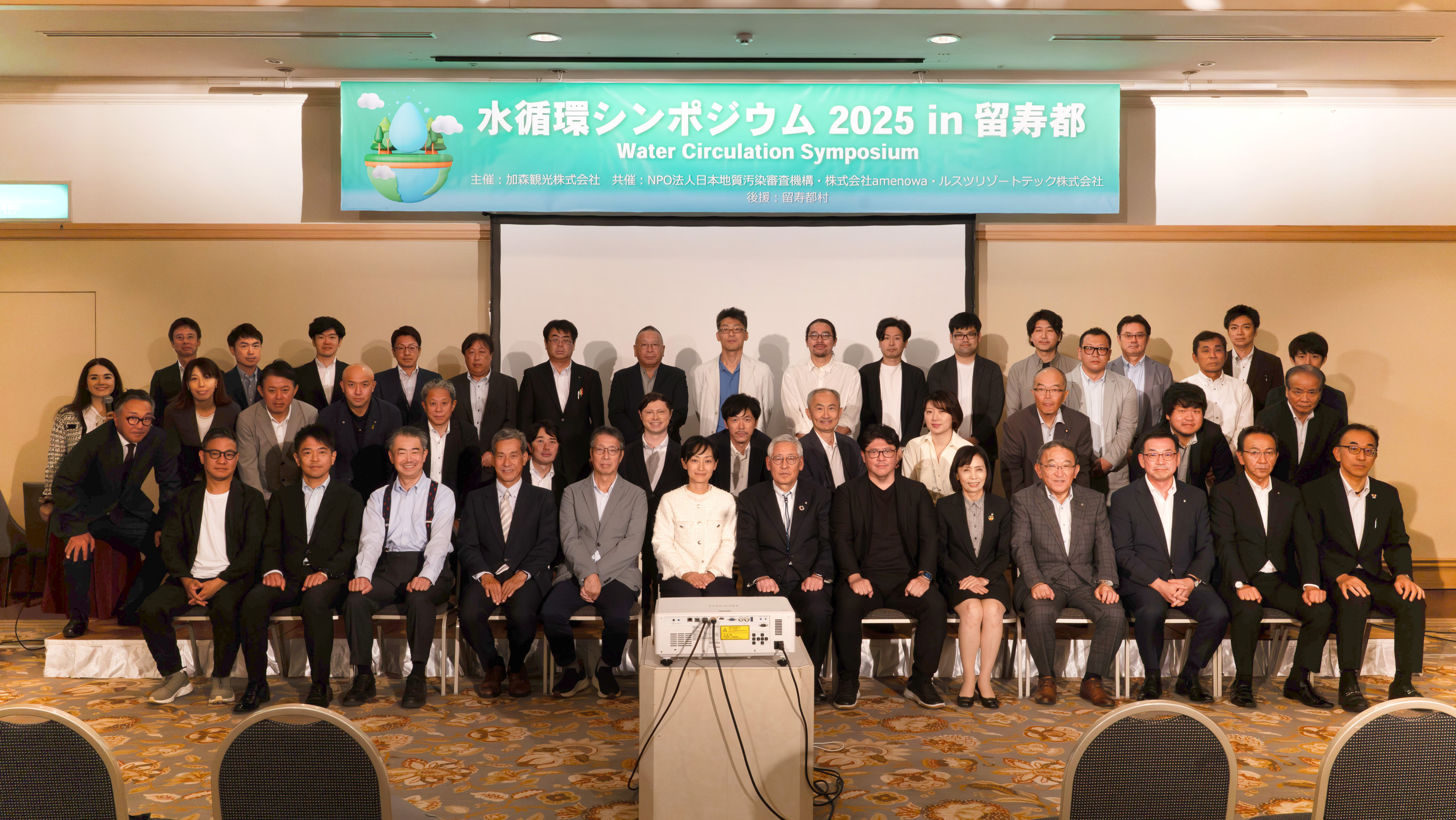
After the 2nd Water Circulation Symposium in Rusutsu 2025
hiro
Rusutsu NatureLink
At first I thought “groundwater = difficult,” but by the end his message—“If we measure it, we can see it. If we can see it, we can protect it.”—clicked into place. And the idea of reviving old wells is kind to both cost and culture. The “making the underground visible” project starting from Rusutsu is genuinely exciting.
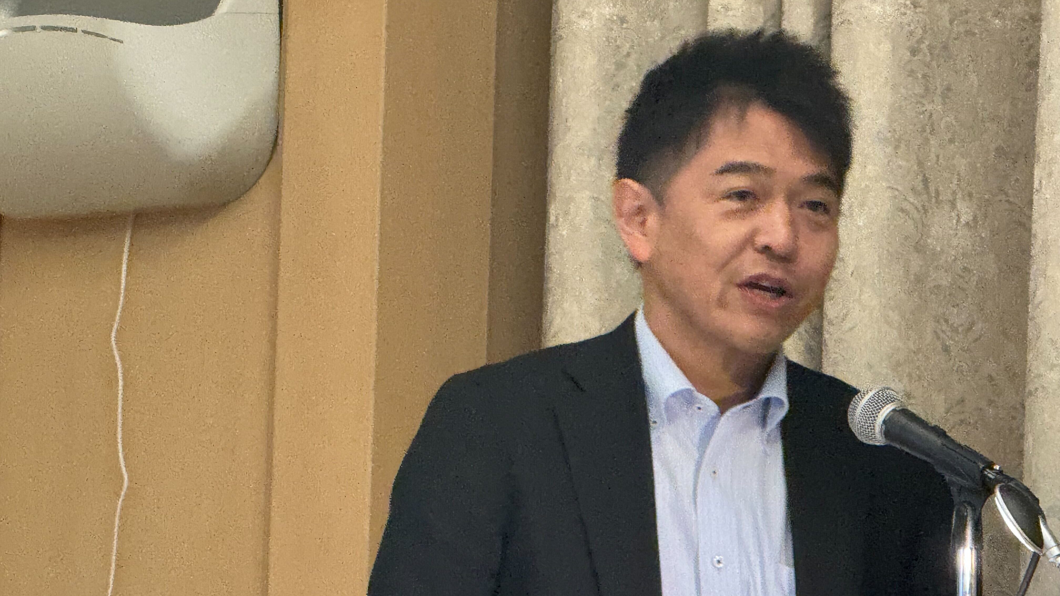
Professor Takashima began with a mini-lecture.
The key is that groundwater has layers of time between when rain infiltrates and when it springs back out. Some flows emerge two days after a storm; others take 10–20 years, or even 100–1,000 years. You can’t see it from the surface, but it moves slowly in three dimensions—that image lands first and makes sense.
Pyroclastic flows, lava, volcanic ash—volcanic strata have zones where water passes easily and zones where it doesn’t.
As a result, large spring points dot the east side of Mt. Yōtei, while many smaller springs appear on the west. The scale is striking: data show spring discharge of 80,000 tons per day. The professor compared it to water intake for a large factory—10,000 tons per day × 8 companies—and the numbers make the magnitude instantly concrete.
Rusutsu sits on a watershed divide. Layering hints from topography—like gravity anomalies and river bends—reveals belts where subsurface continuity may change.
He framed these as multiple groundwater districts (blocks), suggesting that each block may behave differently.
Interviews helped clarify the layout and roles of local water sources.
In conclusion, Professor Takashima stressed that pinpointing how each groundwater block behaves through continuous monitoring connects directly to security and peace of mind in the future.
New wells are costly—so here’s the inversion.
Turn scattered old wells into observation points, install water-level sensors plus communications, and stream continuous data to the cloud. It’s a networked observation system that turns points into an area.
Equipment has already been installed on a shallow well in the Izumikawa area. Continuous data from July–September showed a seasonal pulse—decline toward summer → recovery afterward → leveling off now. Small layers of data build big reassurance—that phrase really sticks.
“Shared management of the subsurface” isn’t about infringing on ownership. It starts with measuring together and sharing—and that stance feels just right.
Professor Takashima’s talk “translated” expertise into the language of everyday life.
Water emerging two days later, journeys of 10–20 years, and waters spanning 100–1,000 years—imagining these layers of time makes Rusutsu’s landscape look a little different.
Finally:
“If we measure it, we can see it. If we can see it, we can protect it.” Let’s take that motto and start from the old wells.
Let’s draw the underground rivers that aren’t on any map—with our own hands. I’m genuinely excited for gentle, Rusutsu-born groundwater management.